
Looking Up Longmont Neighbors Around a Block
A block lookup needs a chosen rule. Use the parcels that touch the target parcel, the same side of the street between cross streets, or a documented radius. Then label every result as parcel, owner, mailing recipient, registered voter, historical occupant, community group, or unknown. The source role matters because a deed party may be a former owner and a voter list may omit a protected or unregistered person.
| Source | What it shows about a block | Access |
|---|---|---|
| Boulder or Weld GIS | Adjacent parcel geometry, city limits, layers, map context | Free public viewer |
| County assessor | Owner, mailing and situs, legal description, values, buildings | Free property portal |
| Recorder index | Deeds, plats, easements, liens, transfer dates for each parcel | Index, copy, and office routes |
| Voter data | Limited registered names, addresses, status, precinct, public fields | Personal lookup or lawful request |
| NGLA and public groups | Neighborhood boundaries, meetings, leaders, public agendas | City public pages |
| Directories and surveys | Past households, buildings, historic street and place clues | Library, archive, or edition access |
The result is a block context, not a promise that every person is visible. Start with parcel boundaries, then add only the sources that fit the reason for the search.
The Boulder PropertyAlert page is the source screen for the recording-alert example.
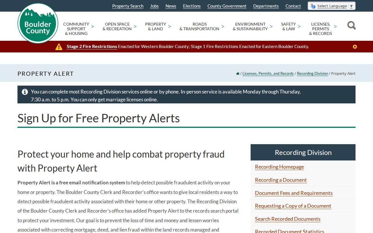
The Boulder PropertyAlert page shows an owner-name alert route for new recordings. It is a protective notification tool, not a historical title search or a list of current neighbors.
Define the Longmont Neighbor Block
“Neighbor” can mean an adjacent parcel, the homes facing the same cross street, a 500-foot planning radius, or a person in a local group. Pick the meaning before collecting names. In Boulder GIS, click the target parcel, read its account and legal description, then open each adjacent parcel. In Weld’s map, use the Address Locator, identify tool, owner and parcel labels, city limits, floodplain, and historic imagery.
Preserve the target address and search date. A block can include a public district, shared trust, vacant tract, business, school, or parcel with a mailing address outside Longmont. A common owner can hold several parcels. A parcel boundary can change after a split, merge, subdivision, or annexation. A map is an index, not a survey.
- Adjacent parcel
- A parcel that shares a boundary with the target parcel. Confirm the relation on the map.
- Owner of record
- The person or entity shown by the assessment or recorded instrument, not necessarily an occupant.
- Situs
- The physical property address used by the county’s property and map systems.
- Mailing address
- The address used for an owner or taxpayer notice. It may be elsewhere.
- Buffer
- A mapped distance around a point or parcel. It describes the chosen radius, not a legal neighborhood.
Map Longmont Neighbors Parcel by Parcel
The reproducible block workflow is simple enough to repeat and precise enough to audit. Use the county that returned the parcel. If no county is known, test Boulder and Weld. Keep owner and mailing fields in separate columns, then add recorder, permit, voter, and community clues only where the source is relevant.
- Normalize the address through USPS, but use the assessor parcel to establish the county and situs.
- Open Boulder GIS or the Weld Property Map and identify the target parcel.
- Click each touching parcel and save account, parcel, situs, owner, mailing, legal description, and source date.
- Use the recorder index for deed, plat, easement, lien, and transfer context for the parcels that matter.
- For a wider planning-style list, follow Weld’s 500-foot buffer instructions and label the output as surrounding property owners.
- Use the full Longmont by-street chain when the question expands beyond the immediate block.
The Weld instructions say to choose Identify Point, select the blue Buffer tool, continue, and leave the distance at 500 feet. That list supports land-use notice. It is not a complete list of people living in the circle, and no official Longmont tool was located that returns every occupant within a chosen distance.
Use the Weld Property Map for layers and the Weld 500-foot instructions for the documented buffer method.
Separate Longmont Neighbor Owner Fields
A block-level owner table should not flatten the parcel card. Boulder can show owner, mailing and situs, legal description, account or parcel, values, buildings, sales, districts, and permits. Weld reports account, parcel, tax year, buildings, actual and assessed values, owner and mailing details, land description, acres, and square feet. These fields describe the property record and its notice trail.
- Owner: name or entity shown in assessment records. Trust and estate names need their own search.
- Situs: physical address for the parcel. Keep it distinct from the postal line.
- Mailing: tax or notice address. It can sit outside the block or outside Longmont.
- Legal key: account, parcel, subdivision, lot, block, S-T-R, or API value.
- Transfer clue: sales line or recorder instrument that needs the actual deed for interpretation.
An owner may be a trust, company, estate, public body, or multiple people. A mailing address may be a care-of line. None of those fields establishes who sleeps in the building. If a current address is protected, do not work backward from another public clue to reconstruct it.
Longmont Neighbor Voter Records Have Limits
Go Vote Colorado is a personal registration match that asks for first name, last name, date of birth, and residential ZIP. It does not return every voter on a street. Boulder County describes public reports with names, residential and mailing addresses, party, status, birth year, precincts, districts, and election participation. Weld offers electronic list products and other election data routes. Confidential voters and protected fields are withheld.
The Boulder voter data access page is the source screen for the public-field and exclusion example.
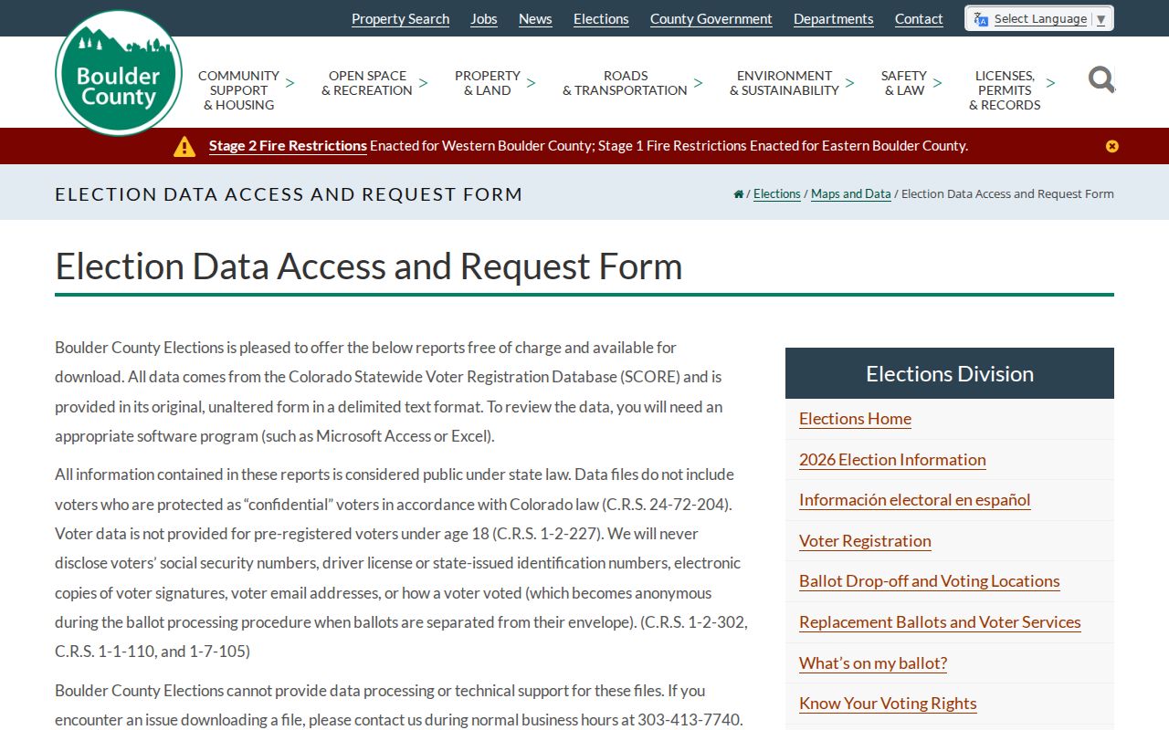
The Boulder voter data access page shows the public-field description and exclusions. Use a county or state request for a lawful block-level project, not a promise of an automatic street list.
Historical Longmont voter registers are a different source. The Longmont Genealogical Society’s extraction from 1898-1919 includes address, ward, age, marital status, occupation, and physical description. Ward boundaries changed in 1909. Historical voter material can help reconstruct a block’s earlier names, but it is not a current roll and does not reveal ballot choices.
A voter match is evidence of a registration record at a stated address. Absence may mean an unregistered person, a move, a confidential record, a protected participant, or an incomplete extract. Keep that uncertainty in the table.
Longmont Neighbor Groups Add Civic Context
Longmont’s Neighborhood Group Leaders Association is the public community-directory layer. The city describes more than 50 registered groups, a Neighborhoods Map, a Neighborhood Portal, meetings, agendas and minutes, grants, training, equipment, and networking. Registered groups are meant to be open to residents or property owners inside defined boundaries. The public material does not provide a complete household or member roster.
The NGLA program page is the source screen for the public map and meeting example.
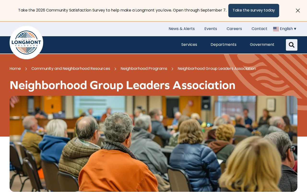
The NGLA program page shows the map, meeting, and public-contact route. Use a group name, meeting date, or agenda address only when the document publishes it.
| Community source | Public layer | Boundary |
|---|---|---|
| Neighborhood Group Leaders Association | Registered-group program, map, meetings, agendas, resources | Defined group areas; no public full roster |
| Longmont Community and Neighborhood Resources | Programs, grants, leadership meetings, public events | Citywide department layer |
| Historic Eastside survey | Survey points, boundary, documents, historic properties | Generally Fourth-Eighth avenues, Kimbark to Atwood |
| Historic Westside survey | Survey points and cultural-resource records | Generally Third-Fifth avenues, Terry to Grant |
| Public boards and committees | Posted membership and meeting records when available | City program or board scope |
A neighborhood label is a search clue. It is not proof that a named person belongs to a group or lives inside a survey boundary.
Historic Surveys Map Longmont Neighbor Blocks
Longmont’s Eastside survey generally covers Fourth through Eighth avenues between Kimbark and Atwood. The Westside survey generally covers Third through Fifth avenues between Terry and Grant. The city says more than 360 properties have been surveyed since 2001, while also stating that these are surveys and not locally designated historic districts. A survey file may provide a building name, architectural date, former owner, photograph, or document that helps identify a block’s past context.
The Longmont historic survey page is the source screen for the survey boundary and document example.
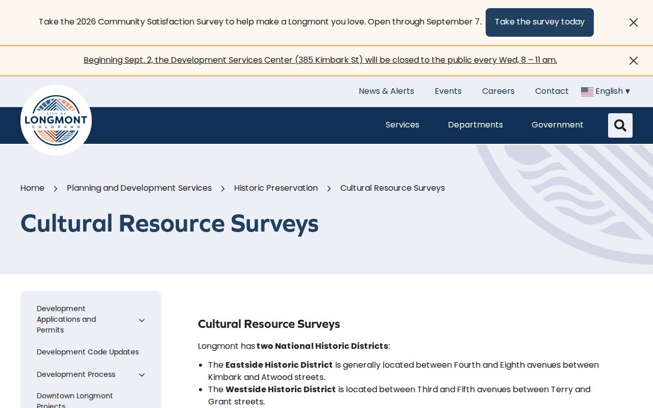
The Longmont historic survey page is a building and place research route. Survey inclusion does not establish current ownership or community membership.
The original 1871 grid, the old ward line at Fourth Avenue and Main Street, and later annexation or subdivision documents help translate historical neighbors into current parcels. Sanborn maps from 1890 through 1918 can show footprints and uses. Longmont Archives can search photographs, clippings, maps, school and business records. Pair those clues with a directory, deed, census, or newspaper before assigning a person to the block.
Longmont Neighbor Rolls Versus Commercial Reports
Commercial people-search reports often merge public indexes, old directories, broker data, and user-supplied material. They can repeat a stale address, merge same-name people, omit protected records, or present an inference as a current fact. Official sources are not perfect, but their keeper, record date, field definitions, and correction route are easier to inspect.
| Approach | Strength | Limit |
|---|---|---|
| County parcel and recorder | Named keeper, legal parcel, transfer and map context | Owner is not every occupant |
| Voter data | Defined public fields and address status | Confidential, unregistered, and protected people omitted |
| Historical directory | Past address and household clues | Edition gaps and role ambiguity |
| Commercial report | May combine many historical clues | Unknown merges, stale data, cost, and correction limits |
For a block question, prefer the map and parcel first. Use the recorder for a property trail, the public city layer for community context, and historical books for a dated household clue. If a commercial report conflicts with the custodian, preserve the official record date and stop treating the report as a match.
Privacy Limits on a Longmont Neighbor Lookup
Renter and household-member information is not a general public block index. Utility, delivery, school, private association, and DMV address data have their own limits. Colorado’s Address Confidentiality Program provides eligible participants a substitute address and mail forwarding. Voter confidentiality and HB25-1195 can shield qualifying records. Recorded documents should be redacted before filing.
A current owner, historical directory entry, voter match, board member, or photograph answers one narrow question. Do not combine them into a claim that a person currently lives next door. Use a source date and two compatible identifiers for a careful match. If a result is wrong, contact the assessor, recorder, voter clerk, court, city, or archive that created it.
Lawful use. Longmont neighbor research can support civic awareness, genealogy, reconnecting, block history, and personal safety. Do not use a neighbor lookup to stalk, harass, intimidate, threaten, or harm anyone.
When the question expands from adjacent parcels to a full named street, use the Longmont by-street record chain. When it narrows to one person, use the Longmont resident lookup workflow and its identity stop rules.